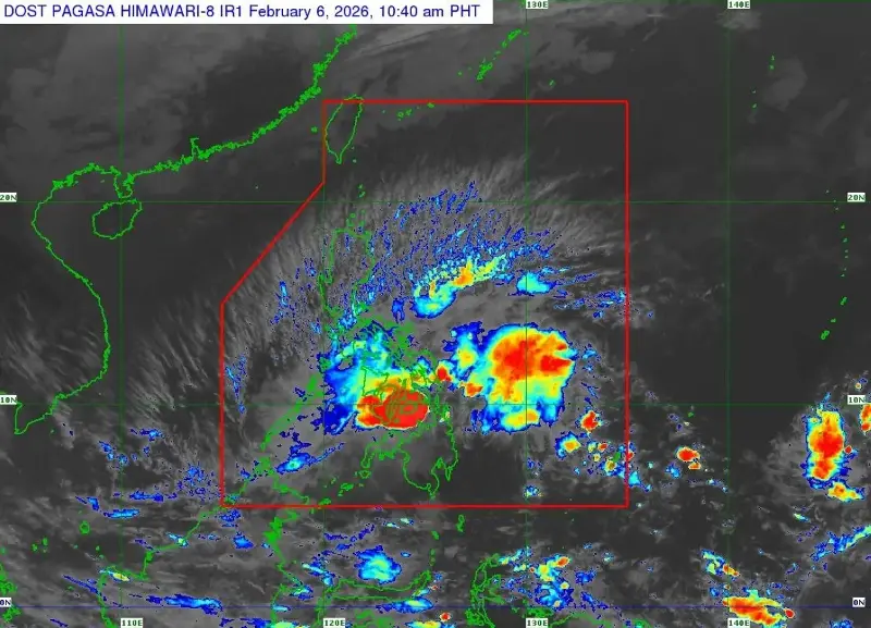
MANILA, Philippines — The Philippine Atmospheric, Geophysical and Astronomical Services Administration (Pagasa) on Friday said that “Basyang” has weakened and downgraded to a tropical depression as it approaches Bohol.
In its 11 a.m. bulletin, the weather bureau said that the storm’s center was estimated over the coastal waters of Anda, Bohol, moving west northwestward at 10 kilometers per hour with maximum sustained winds of 55 kph near the center and gustiness of up to 70 kph.
The following areas were placed under Signal No. 1:
Southern portion of Occidental Mindoro
Southern portion of Oriental Mindoro
Romblon
Northern portion of Palawan including Cuyo Islands, Cagayancillo Islands, and Calamian Islands
Southern portion of Masbate
Southern portion of Eastern Samar
Southern portion of Samar
Guimaras
Iloilo
Capiz
Antique
Aklan
Biliran
Bohol
Cebu
Negros Occidental
Negros Oriental
Leyte
Southern Leyte
Siquijor
Dinagat Islands
Surigao del Norte including Siargao-Bucas Grande Islands
Agusan del Norte
Misamis Oriental
Camiguin
Northern portion of Surigao del Sur
Northern and central portion of Agusan del Sur
Northern and central portions of Bukidnon
Eastern portion of Lanao del Norte
Northern portion of Misamis Occidental
Northernmost portion of Lanao del Sur
Eastern portion of Zamboanga del Norte
“Basyang will move generally west northwestward throughout the forecast period. It may pass close or make landfall over Bohol and southern portions of Cebu and Negros Oriental. Afterwards, it will pass over the southern portion of Panay Island on Saturday afternoon or evening,” Pagasa said.
“Basyang remains as a tropical depression while traversing the Central Visayas and Negros Island Region, it may weaken into a low pressure area [Saturday] afternoon or evening,” it added.