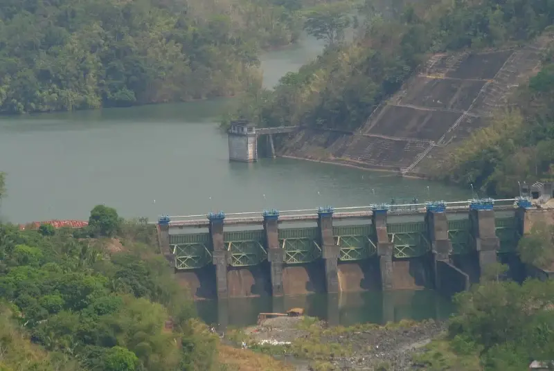
MANILA, Philippines – The Philippine Atmospheric Geophysical and Astronomical Services Administration (Pagasa) said that three Luzon dams, including Angat – main source of water supply for Metro Manila – are releasing water due to the volume of rainfall spawned by several prevailing weather systems.
Hydrologist Elmer Caringal, of Pagasa’s Hydrometeorology Division, said that three gates each were opened in Angat and Ipo dams both in Norzagaray, Bulacan while one spillway gate was unlocked in Magat at the boundary between the provinces of Ifugao and Isabela.
With its normal high water level (NHWL) at 210 meters (m), Angat dam’s current reservoir water level (RWL) as of 8 a.m., Wednesday, was beyond its NHWL or at 212.08m while Ipo’s RWL was measured at 100.82m against its 101.10 m spilling level.
Magat dam, which has 193m NHWL, is releasing water with an outflow of 350.53 cubic meters per second (cms) through one floodgate with an opening of one meter, the national weather bureau said.
It said that the prevailing weather systems – easterlies, intertropical convergence zone and northeast monsoon locally known as ‘amihan’ – have been largely contributing to the volume of rainfall that fills the dams, reaching their spilling levels.
The state-run weather agency said that dam operators would open the gates of the dams even if they have not yet reached the spilling level to prevent an overflow or, worse, collapse of the facilities.
The decision to open the floodgates of the dams comes as “Verbena” intensified into a tropical storm, prompting weather authorities to raise Signal No. 2 in Calamian Islands and the extreme northern portion of mainland Palawan (El Nido, Taytay).
Pagasa weather specialist Robert Badrina said Signal No. 1 was up over Occidental Mindoro and the northern and central portions of Palawan (Dumaran, Roxas, San Vicente, Puerto Princesa City), including Cuyo and Kalayaan Islands in Luzon.
Estimated at 130 kilometers west of Coron, Palawan and moving west-northwestward at 25 kilometers per hour (kph), the tropical storm has maximum sustained winds of 85kph near the center and gustiness of up to 105kph, according to Pagasa’s 5 a.m. bulletin.
Verbena will continue moving west-northwestward over the West Philippine Sea before moving westward and passing north of Kalayaan Islands this afternoon and evening, the Pagasa forecaster said.
It will then exit the Philippine Area of Responsibility Thursday morning, he added.
Meanwhile, the trough or extension of Verbena has been affecting Metro Manila, Zambales, Bataan, Cavite, Laguna, Batangas, Rizal, Aklan, Antique, and the rest of Mimaropa (Mindoro, Marinduque, Romblon and Palawan) where cloudy skies with scattered rains and thunderstorms would prevail.
Other parts of the archipelago would be experiencing either scattered or isolated rain showers and thunderstorms due to the northeast monsoon locally known as "amihan" and localized thunderstorms, the national weather bureau said.
