MANILA, Philippines – The European Union’s Copernicus satellites can help the Philippine government and communities forecast disaster impacts, beyond simply anticipating hazards.
Simply put, this means going beyond the question of the magnitude of rainfall and where and when it will occur, said Andrea Koulaimah, director of the European Civil Protection and Humanitarian Aid Operations.
“It allows us to turn the question into something different, which is: How many houses are expected to be damaged? How many people are likely to be affected?” said Koulaimah on Tuesday, October 15, at a panel event during the Asia-Pacific Ministerial Conference on Disaster Risk Reduction.
“And that brings us closer to the real question, which is, what do we do about it?”
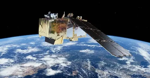
The establishment of the CopPhil (National Copernicus Capacity Support Action Programme) Centre, the first mirror site of the European Space Agency’s (ESA) Copernicus Earth Observation programme in Asia, will enable Filipino authorities and scientists to get data from the Copernicus satellites called the Sentinels.
“This would be moving towards an impact-based forecast as opposed to simply a hazard-based forecast,” said Koulaimah.
The program will have three pilot services including the monitoring of land cover, ground motion, and benthic habitats. (READ: Satellite imagery ‘underutilized’ in PH’s fight vs climate change)
The three services will be useful for monitoring landslides, volcanic activities, land subsidence, and agricultural activities, said Casper Fibaek, CopPhil project manager from ESA on Tuesday.
It’s also possible to identify when a coral bleaching event happened — another phenomena exacerbated by rising sea temperatures — with the use of satellite data.
“There are some very concrete disaster risk management targets that we can measure, like fires. These satellites are very adept at mapping fires, forest fires, forest disturbances…. storms, illegal walking, and so on,” said Fibaek on Tuesday.
“We also monitor agriculture, droughts and, of course, air pollution.”
Open data at the local level
Filipinos have been using open data from the Sentinels.
“We already use them a lot,” said Joel Marciano, director general of the Philippine Space Agency (PhilSA), said in a previous Rappler Talk. “And they’re free, they’re open. Anybody can use it, anybody can access.”
For example, data from the satellites have been used to assess the extent of oil spill from MT Princess Empress, as well as make projections of the spill caused by MT Terranova.
The data center would make the data more accessible, and hopefully not just in Metro Manila and other urbanized areas, Marciano said.

“[W]e want it to be used by local governments and private sector across our country. That’s a big step for us. It recognizes how we’ve been adding value to this open data,” PhilSA’s director general said.
The information may be here. But to make sure the data reaches victims of disasters, local governments would have to know how to apply them.
“[W]e also need to strengthen the use of this information. We do this through capacity building and training events here,” Fibaek said.
During the panel, Fibaek showed a photo of the IT infrastructure, provided by Polish company CloudFerro, that will be shipped to the Philippines soon.
– Rappler.com