


Green infrastructure for a low-emission city.
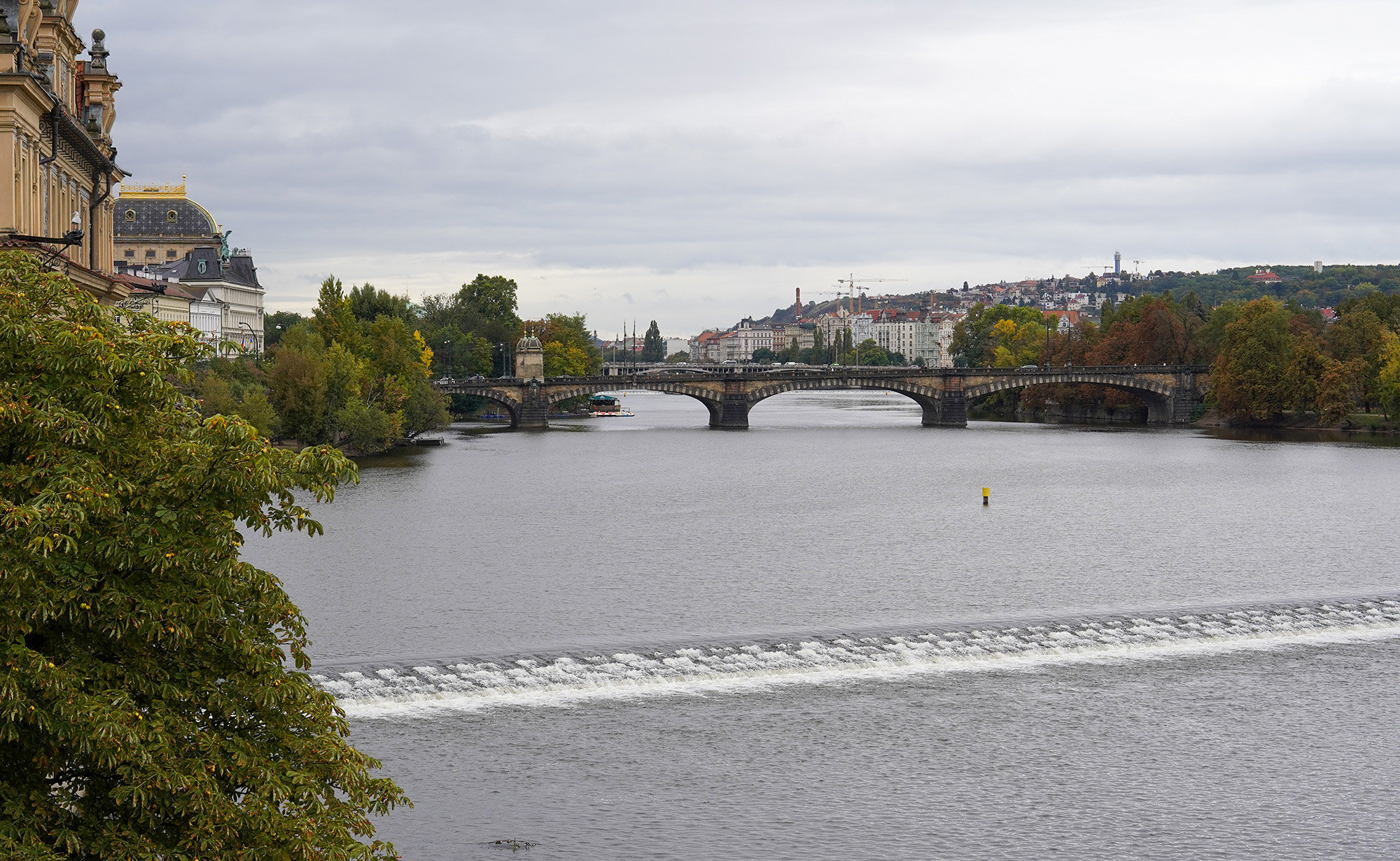
Photo: Hoang Linh
According to the United Nations Environment Programme (UNEP), nature-based solutions (NbS) are becoming one of the most effective tools for reducing carbon emissions, adapting to climate change, and improving urban health. River, lake, and wetland ecosystems play a particularly important role in this. Unlike individual parks, riverside corridors form a continuous green network, connecting multiple areas and offering numerous benefits simultaneously.
Firstly, the combination of water and greenery helps regulate the climate, lowering the temperature of the surrounding area. Many studies show that riverside spaces can reduce air temperature by 2-5 degrees Celsius compared to densely built areas, contributing to mitigating the urban heat island effect. In addition, riverside spaces improve air quality. Greenery absorbs CO2, contributing to carbon neutrality, while also trapping PM2.5 and other pollutants, facilitating natural air circulation.
A study by the University of Exeter (UK) shows that continuous green corridors can significantly improve the dispersion of air pollutants in high-density urban areas, especially when planned according to prevailing wind direction. Restricting the construction of high-rise buildings close to riverbanks allows natural breezes from the water to flow deep into the inner city, reducing heat buildup and the dispersion of air pollutants.
An example of this is the Cheonggyecheon stream restoration project in Seoul, South Korea . According to the Landscape Performance Series, after the elevated highway was removed and the stream restored, the temperature along the corridor decreased by 3.3-5.9 degrees Celsius compared to the parallel route a few blocks away; wind speed in the corridor increased by 2.2-7.8%, contributing to improved dispersion of polluted air.
Fine particulate matter concentrations also decreased significantly, with the amount of fine dust particles in the Seoul area falling by approximately 35%, from 74 to 48 µg/m³ after the project was completed. In addition, biodiversity increased dramatically, with the total number of recorded species rising by 639% in just 5 years, including an increase in plant species from 62 to 308, fish species from 4 to 25, bird species from 6 to 36, and insect species from 15 to 192.

Another important role of riverside corridors lies in their ability to adapt to extreme weather events. As the amount of concrete increases, rainwater is no longer able to infiltrate the ground but quickly flows into the drainage system, causing localized flooding. Natural floodplains along rivers act like giant "sponges," retaining water during heavy rains and then gradually releasing it back into the river.
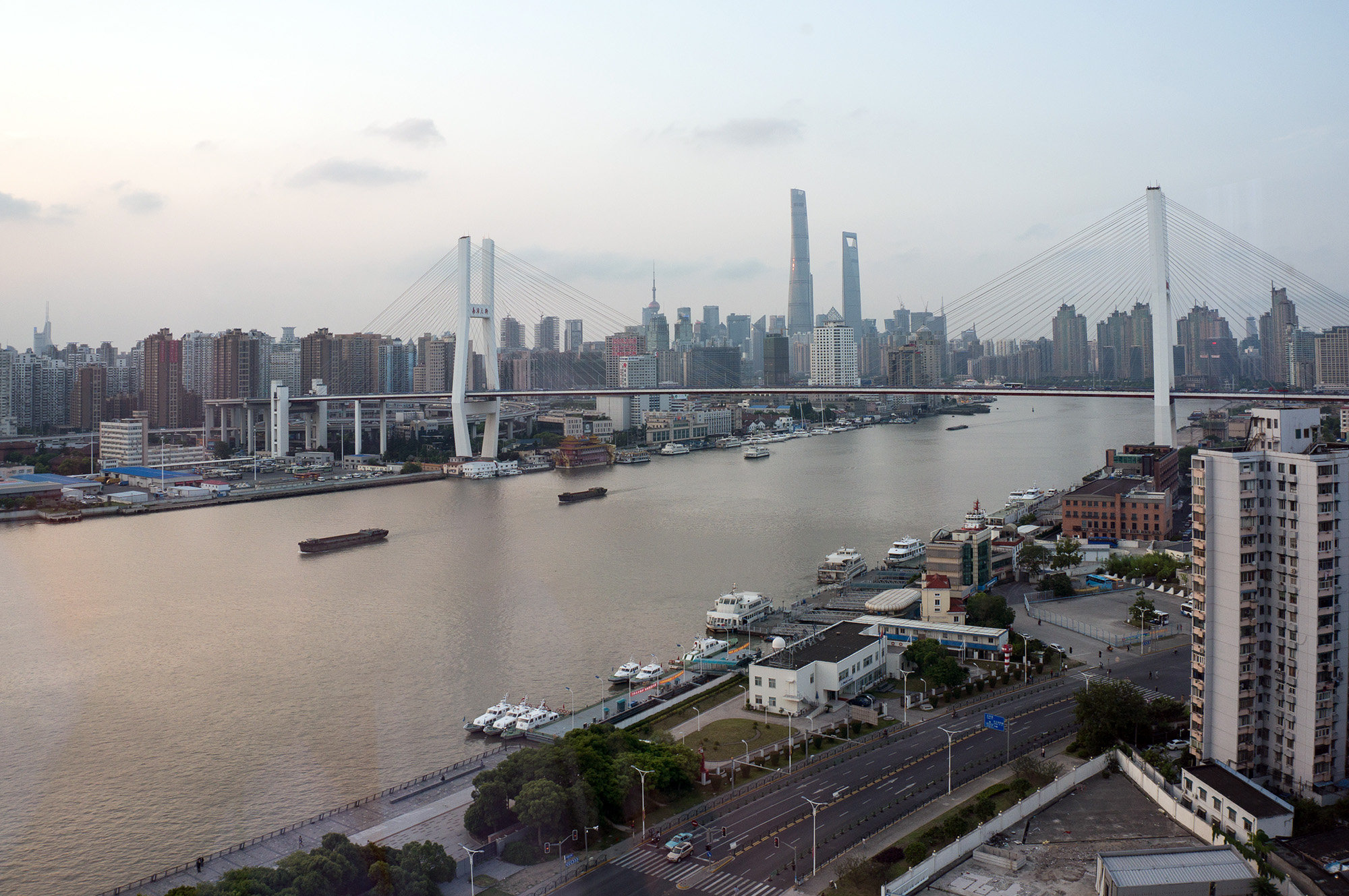
In fact, the concept of "sponge cities," which many Chinese cities are actively promoting, is a prime example. Instead of simply expanding drainage systems, many cities are building systems of flooded parks, retention ponds, and green corridors along rivers to increase rainwater absorption capacity. According to China's Ministry of Housing and Urban-Rural Development, the goal is that by 2030, approximately 80% of urban areas will be able to absorb and reuse at least 70% of rainwater.
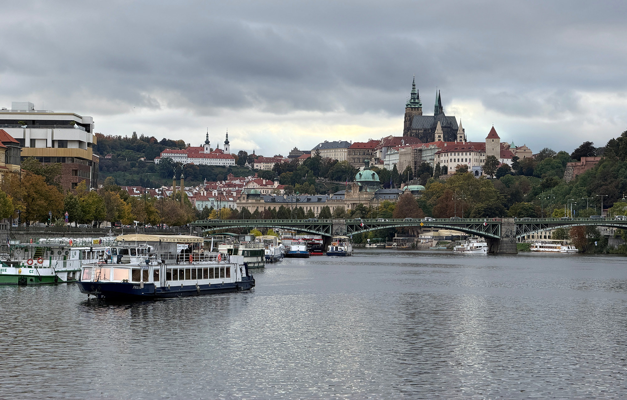
Furthermore, riverside spaces help minimize flood damage. Instead of building right at the water's edge, many cities maintain a sufficiently large setback along both banks of the river, creating space for water to flow in during major floods without severely impacting residential areas. Prague (Czech Republic) is one of the prime examples of a city that adopts this approach.
Riverside corridors also become green transportation arteries. Many cities prioritize the development of bike lanes, pedestrian walkways, and public transport along riverbanks to reduce reliance on private cars. In Copenhagen (Denmark), Amsterdam ( Netherlands ), and Paris, riverside routes are an important part of the zero-emission transport network. Water transport on rivers also contributes significantly to the overall urban transport landscape. According to the OECD, investing in green infrastructure can significantly reduce transport emissions if integrated seamlessly with urban planning.
Given these characteristics, it's easy to understand why many organizations – including the OECD, the World Bank, UNEP, and C40 Cities – now consider green infrastructure as one of the core solutions for building low-emission cities. A common thread in successful models is that riverside parks are not simply viewed as landscape features, but integrate multiple functions simultaneously: reducing emissions, regulating climate, preventing flooding, improving public health, promoting green transportation, and fostering economic development.
The Red River - A driving force for low emissions in the capital city.
With its unique river system, Hanoi has a great opportunity to transform its riverside corridors into new "green lungs"—a crucial foundation for building a modern, livable, and low-emission city in the coming decades. This is particularly relevant as, in addition to infrastructure, Hanoi is pursuing several major goals in its development vision: improving the quality of life, building a green and smart city…
First, we can see that the Cheonggyecheon Stream in Seoul, the Madrid Río megapark (Madrid, Spain ), and Bishan–Ang Mo Kio Park in Singapore all share the commonality of being part of a continuous network of green spaces, connected to public transportation, bicycle paths, residential areas, and existing parks. This factor is particularly suitable for Hanoi, where the average green space per capita is still low compared to many developed cities in the region, while the rate of urbanization is still very rapid.
In fact, not many capitals in the world still possess a large river flowing through the urban area for tens of kilometers like Hanoi. If properly planned, Hanoi's river systems and large lakes could form a "green-blue network," connecting existing parks such as Yen So, Hoa Binh, Thong Nhat, Chu Van An, and new green spaces in the future, creating a large-scale green ecosystem stretching from the north to the south of the city. This model is far more effective than the dozens of scattered parks that exist today.
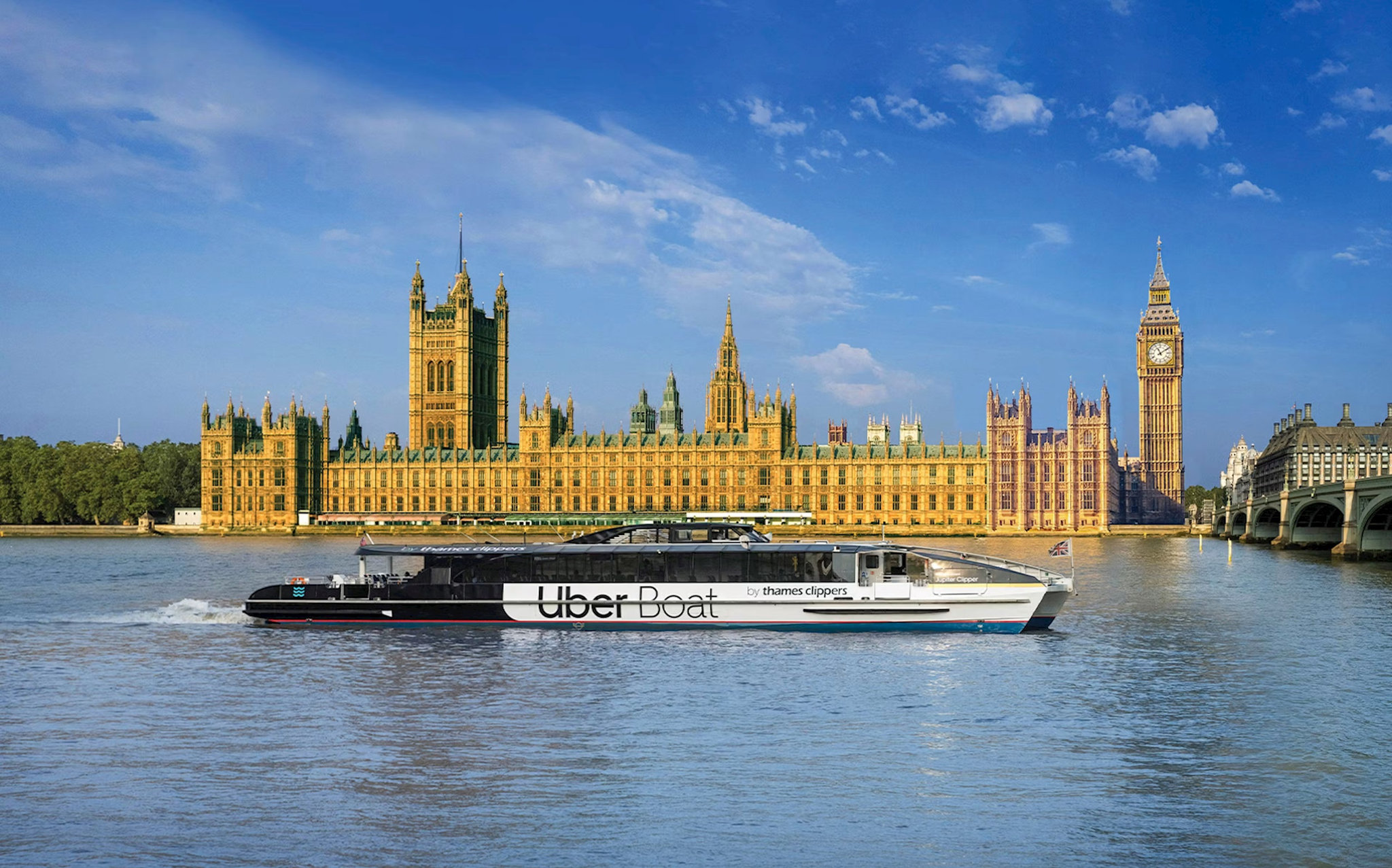
Photo: Thames RIB Experience
The second benefit of well-planned riverside spaces is that they help Hanoi adapt better to climate change. In the context of increasingly frequent extreme rainfall events, maintaining open riverside spaces will improve water regulation and reduce pressure on the urban drainage system. Instead of concreting the riverbanks, flooded parks, green areas, and retention ponds can act as natural buffers, helping to mitigate flooding during heavy rains.
The third benefit is promoting low-emission targets. Pedestrian walkways, bike lanes, parks, squares, and outdoor cultural spaces will encourage people to choose low-emission modes of transport, increase physical activity, and reduce pressure on motorized traffic. This approach aligns with Hanoi's green transportation development orientation, which includes expanding the urban rail network, electric buses, and pedestrian infrastructure.
Of course, water transport will be the superior solution in terms of energy efficiency, especially when combined with electric or clean fuel vehicles. For passenger transport, river bus routes have proven effective in Bangkok (Thailand), Brisbane (Australia), London, and Paris, serving as a supplement to the metro and buses. The biggest advantage of this approach is utilizing existing waterway infrastructure, eliminating the need for land acquisition or the construction of new, costly routes.
Hanoi's possession of the Red River flowing through its territory, along with the Duong and Nhue rivers and numerous large lakes, provides favorable conditions for the formation of an inland waterway transport network. If connected to urban railway stations, bus terminals, and public bicycle networks, river bus routes could become a link in a multimodal transport system, reducing pressure on frequently congested main roads in a very "green" way.
Overall, in the era of low emissions, a city's competitiveness is no longer judged solely by the number of skyscrapers or its economic growth rate. The quality of life, the ability to adapt to climate change, and the attractiveness to residents and businesses have also become important criteria.
With its advantageous river system, Hanoi has the opportunity to transform the Red River into a strategic green infrastructure axis. This is not only a solution to improve the environment and enhance the quality of life, but also a driving force in creating a modern, sustainably developed city with a rich identity.